About USA Property Map
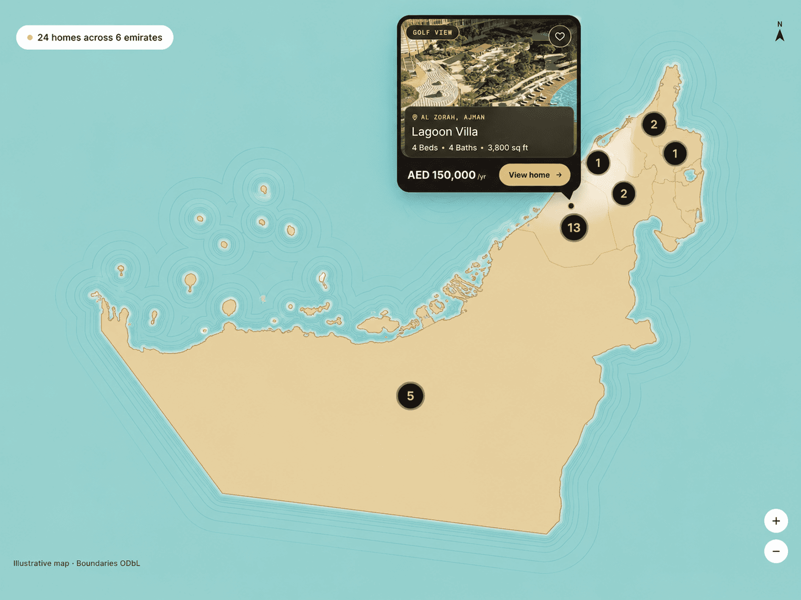
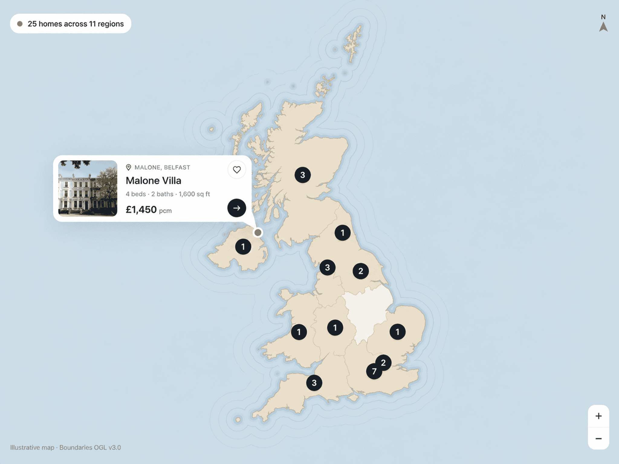
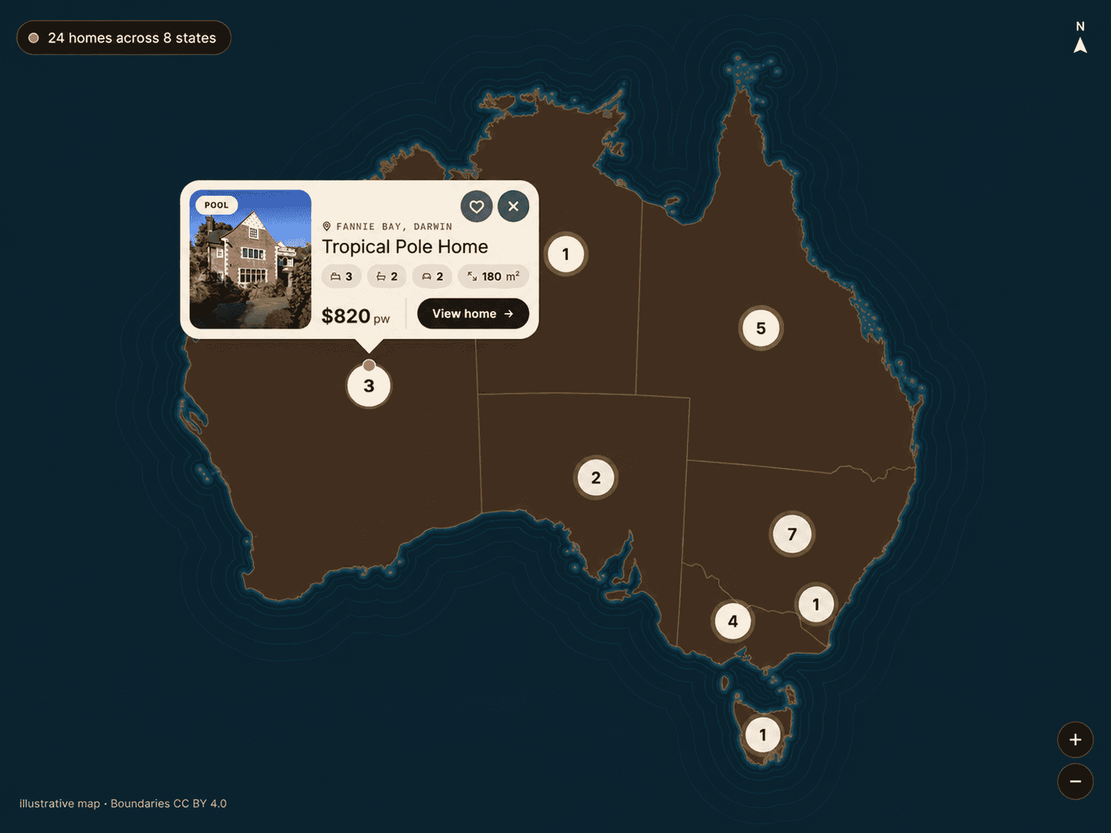
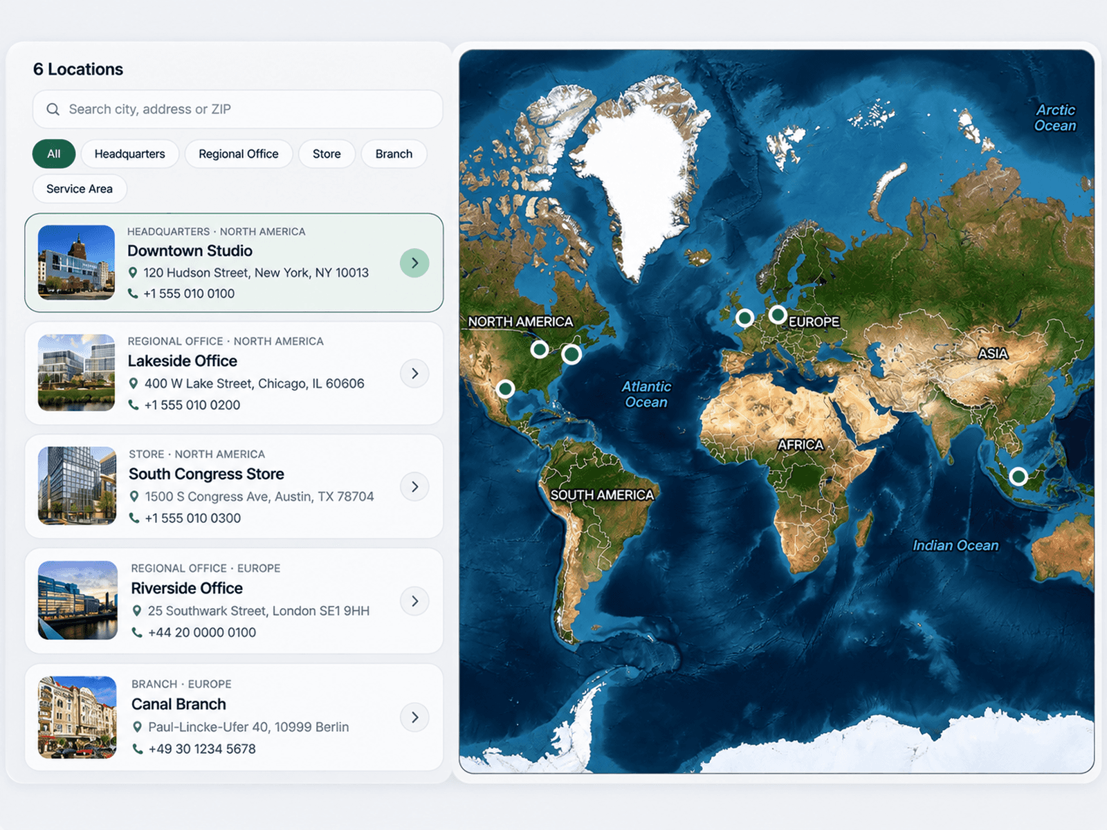
USA Property Map is an interactive real estate map designed to showcase properties across the United States in a clear, engaging way.
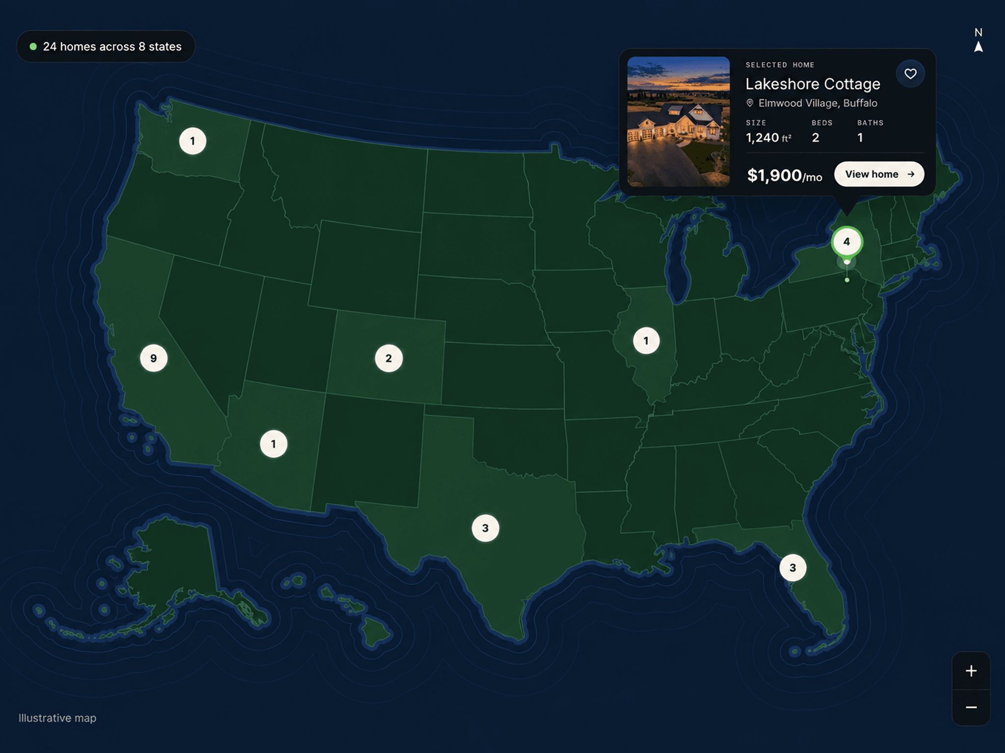
Display property listings directly on an interactive USA map with location-based markers, state and city labels, roads, parks, and geographic details. Users can explore different areas, zoom into locations, and open individual property details without leaving the map. Explore major cities and destinations across the United States, including New York City, Los Angeles, Chicago, Houston, Phoenix, Philadelphia, San Antonio, San Diego, Dallas, San Jose, Austin, Jacksonville, San Francisco, Seattle, Boston, Denver, Washington, D.C., Nashville, Las Vegas, Portland, Miami, Atlanta, New Orleans, Minneapolis, and Charlotte.
Key Features
Interactive USA map with smooth navigation
Property markers positioned using latitude and longitude
Clickable property markers with detailed property cards
Property images, titles, addresses, prices, tags, and specifications
Support for bedrooms, bathrooms, and property size
State and city labels for easier navigation
Property counts and pricing information by state
Zoom controls and map navigation
North indicator and map scale
Optional roads, streets, parks, ponds, and geographic details
Customizable map ground and detail colors
Customizable property marker styles
Adjustable property detail sheet and card styling
Customizable typography, radius, spacing, and visual styling
Configurable map controls and navigation options
Where to Use
Real Estate Websites
Property Marketplaces
Property Listing Platforms
Rental Websites
Real Estate Agencies
Property Directories
Housing Platforms
Property Investment Websites
Relocation Websites
Real Estate Landing Pages
City & State Property Guides
Real Estate Data Visualizations
I hope you enjoy using this map! If you’re looking for custom map work, maps for other countries, or any other map-related project, feel free to reach out to me at oddframeworks@gmail.com